Createspace Independent Publishing Platform
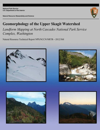
Geomorphology of the Upper Skagit Watershed Landform Mapping at North Cascades National Park Service Complex, Washington

No reviews yet
Product Code: 9781492914105
ISBN13: 9781492914105
Condition: New
$18.80

Geomorphology of the Upper Skagit Watershed Landform Mapping at North Cascades National Park Service Complex, Washington

$18.80
 
The primary purpose of this report is to describe the background information, methods and results of a surficial geology inventory within the North Cascades National Park Service Complex (NOCA). This is one of twelve basic inventories called for in the National Park Service (NPS) National Resource Challenge. A secondary goal is to provide an overview of bedrock geology, climate, hydrology and vegetation as they affect landform processes. The study area for this report is the Upper Skagit Watershed, which is defined as drainages within NOCA that flow into Ross Lake. On the west side of Ross Lake this includes Little Beaver, Big Beaver, Silver, Arctic, Skymo and No Name Creeks. On the east side of Ross Lake this includes Lightning, Hozomeen, Dry, May, Roland, Devils, Ruby and Panther Creeks.


Author: National Park Service
Publisher: Createspace Independent Publishing Platform
Publication Date: Oct 08, 2013
Number of Pages: 126 pages
Binding: Paperback or Softback
ISBN-10: 149291410X
ISBN-13: 9781492914105
 

Customer Reviews

This product hasn't received any reviews yet. Be the first to review this product!

Faster Shipping

Delivery in 3-8 days

Easy Returns

14 days returns

Discount upto 30%

Monthly discount on books

Outstanding Customer Service

Support 24 hours a day