Createspace Independent Publishing Platform
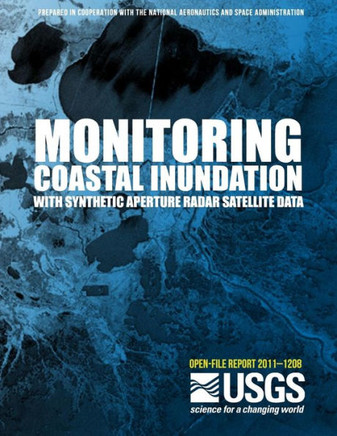
Monitoring Coastal Inundation with Synthetic Aperture Radar Satellite Data
Product Code:
9781497445284
ISBN13:
9781497445284
Condition:
New
$19.23

Monitoring Coastal Inundation with Synthetic Aperture Radar Satellite Data
$19.23
The use of satellite-based Synthetic Aperture Radar (SAR) to monitor coastal Louisiana inundation was evaluated by the Remote Sensing Applied Research group at the U.S. Geological Survey's (USGS) National Wetlands Research Center. This initial applied research emphasized preparation of flood distribution maps for coastal Louisiana. The research included data collected by the Phased Array type L-band SAR (PALSAR) sensor onboard the Advanced Land Observing Satellite (ALOS) and the Advanced SAR (ASAR) sensor onboard Envisat.
| Author: U. S. Department of the Interior |
| Publisher: Createspace Independent Publishing Platform |
| Publication Date: Mar 30, 2014 |
| Number of Pages: 56 pages |
| Binding: Paperback or Softback |
| ISBN-10: 1497445280 |
| ISBN-13: 9781497445284 |


